


Le Pic de Roche Noire
To discover :
– Unique viewpoint over Mont Blanc, Vanoise and Ecrins
– Fauna: Chamois, Rock Ptarmigans, Niverolles, Alpine Accentors…
– Flora: Genepi…
– Monument: Former slate quarry
– Black Rock Lake
– Unique viewpoint over Mont Blanc, Vanoise and Ecrins
– Fauna: Chamois, Rock Ptarmigans, Niverolles, Alpine Accentors…
– Flora: Genepi…
– Monument: Former slate quarry
– Black Rock Lake
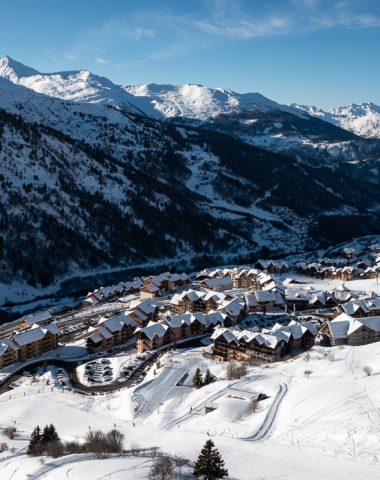
Departure 1: From Valmeinier 1800, join Valmeinier Haut by the Petites Anglaises track.
Departure 2: From Valmeinier Haut, at the end of the square, from the sign "Le Renne", cross the ski slope and continue straight to "Sous Pré Aynard". Then take the path to the right towards "Le Col des Marches", continue on this path, cross the track a second time at the sign "Sous l'Inversin". Continue in the direction of the Col des Marches, pass under the Inversins chairlift to the sign "La Combe des Marches".
250 m after this panel, at an altitude of 2213m, cross the torrent by the footbridge. Continue the path up to an altitude of 2306m where the wide Vallon des Marches ends. From there, the slope steepens up to the sign “Sous le Col des Marches” at 2525m.
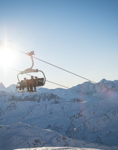
Departure 3: From the top of the Jeux chairlift, take the Lauzes piste on your right to the top of the Inversins chairlift. Take the start of the Rhodos blue run for 100m then leave it and turn left on the path that joins the Col des Marches.
From the sign “under the Col des Marches”, take the flat path on the right taking you to the Lac de Roche Noire at 2535m. From there, follow the path indicated by cairns (piles of stones) passing under the large rocky bar emerging from the summit of Roche de Lac and reach a small plateau at an altitude of 2606m. From there, continue towards the South-East towards the Roche des Marches to reach Crete at 2900m. Continue on the edge of the ridge. Around 3000m, a delicate passage equipped with a handrail leads you to a flat area, continue in a southerly direction by climbing the last slope and you will reach the summit of Roche Noire at an altitude of 3067m.
Departure 2: From Valmeinier Haut, at the end of the square, from the sign "Le Renne", cross the ski slope and continue straight to "Sous Pré Aynard". Then take the path to the right towards "Le Col des Marches", continue on this path, cross the track a second time at the sign "Sous l'Inversin". Continue in the direction of the Col des Marches, pass under the Inversins chairlift to the sign "La Combe des Marches".
250 m after this panel, at an altitude of 2213m, cross the torrent by the footbridge. Continue the path up to an altitude of 2306m where the wide Vallon des Marches ends. From there, the slope steepens up to the sign “Sous le Col des Marches” at 2525m.
Departure 3: From the top of the Jeux chairlift, take the Lauzes piste on your right to the top of the Inversins chairlift. Take the start of the Rhodos blue run for 100m then leave it and turn left on the path that joins the Col des Marches.
From the sign “under the Col des Marches”, take the flat path on the right taking you to the Lac de Roche Noire at 2535m. From there, follow the path indicated by cairns (piles of stones) passing under the large rocky bar emerging from the summit of Roche de Lac and reach a small plateau at an altitude of 2606m. From there, continue towards the South-East towards the Roche des Marches to reach Crete at 2900m. Continue on the edge of the ridge. Around 3000m, a delicate passage equipped with a handrail leads you to a flat area, continue in a southerly direction by climbing the last slope and you will reach the summit of Roche Noire at an altitude of 3067m.
Location details
Possibility to leave from the top of the station as well.
Opening
| Opening hours from June 15 to September 15, 2024 | |
|---|---|
| Monday | Open |
| Tuesday | Open |
| Wednesday | Open |
| Thursday | Open |
| Friday | Open |
| Saturday | Open |
| Sunday | Open |
Further information) :
Subject to favorable weather conditions
Prices
Services
Services
Activities on site
- Pedestrian sports
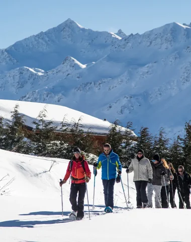
- Hiking route