


Passage de la Pissine
Between trail and off-trail, this hike runs along very beautiful and wide ridges without major difficulties until the passage of the Pissine. During the descent, you will also come across pretty lakes.
The start of the hike follows the Neuvache with a path that is sometimes paved and therefore picturesque because the humidity can persist there for a while while the sun has long been on the ridges to come.
Towards the cross, it is possible to add a round trip to the green lake (about 20 min more round trip (non-stop). The path climbs through beautiful hairpin bends towards the Pas des Griffes.
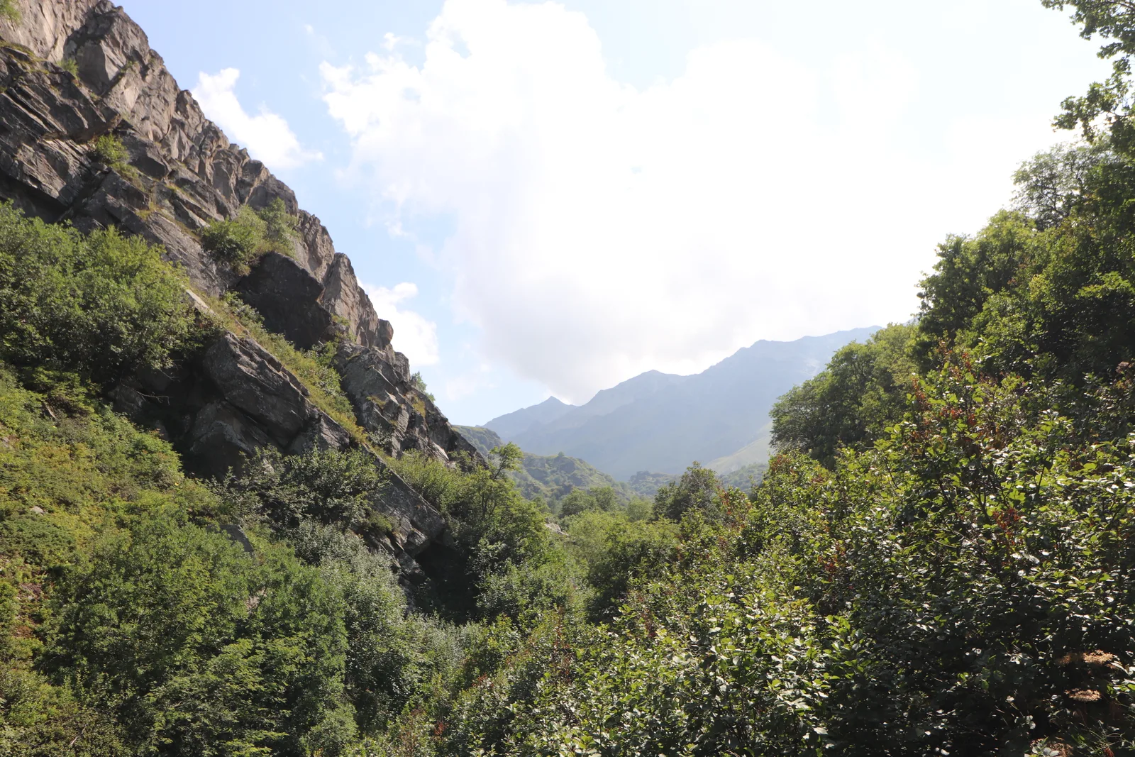
On arrival at the pass, take and follow the ridges on the left, the ridge is very wide most of the time, no passage requires you to put your hands, only two small places require more attention.
The path is obvious until the Passage de la Pissine. To this one is on the right the tip of the Pissine (seems possible to climb see Topo JLB, On the left a small unnamed peak (2724 m) where there is a small casemate.
Descent to the lakes with at times well marked paths, sometimes less, but the route is quite obvious. Three beautiful little lakes. For the end of the descent, aim for the path coming from the lake of Curtalès.
Once you have reached the bottom of the Vallon, follow the Terre Rouge refuge, Chapelle Notre-Dame-des-Neiges and the signs indicating the Chenalette car park.
Towards the cross, it is possible to add a round trip to the green lake (about 20 min more round trip (non-stop). The path climbs through beautiful hairpin bends towards the Pas des Griffes.
On arrival at the pass, take and follow the ridges on the left, the ridge is very wide most of the time, no passage requires you to put your hands, only two small places require more attention.
The path is obvious until the Passage de la Pissine. To this one is on the right the tip of the Pissine (seems possible to climb see Topo JLB, On the left a small unnamed peak (2724 m) where there is a small casemate.
Descent to the lakes with at times well marked paths, sometimes less, but the route is quite obvious. Three beautiful little lakes. For the end of the descent, aim for the path coming from the lake of Curtalès.
Once you have reached the bottom of the Vallon, follow the Terre Rouge refuge, Chapelle Notre-Dame-des-Neiges and the signs indicating the Chenalette car park.
Further information) :
Long route. Do not do in foggy weather. Good sense of direction for off-trail.
No significant difficulties on the crests.
No significant difficulties on the crests.
Location details
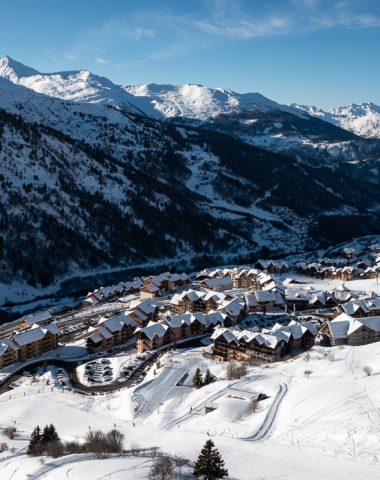
From Saint-Michel-de-Maurienne, direction Valmenier then before Valmenier 1800, direction the Chenalette car park: starting point of the hike.
- In the mountains
Opening
| Opening hours from May 15 to October 15, 2024 | |
|---|---|
| Monday | Open |
| Tuesday | Open |
| Wednesday | Open |
| Thursday | Open |
| Friday | Open |
| Saturday | Open |
| Sunday | Open |
Further information) :
Subject to favorable weather conditions
Prices
Services
Activities on site
- Pedestrian sports
- Hiking route