


Tour du Thabor depuis Valmeinier – Rando pédestre 5 jours

DAY 1: Valmeinier – Refuge des Marches (2183 m)
Duration: 5 hours / Elevation difference: + 1225 m / – 542 m
Go towards La Losa to climb towards Les Vallons. After the Lac de Roche Noire go in the direction of the Col des Marches. From the pass, all you have to do is descend into the Bissorte valley with a view of the dam to reach the refuge. Here you are, all you have to do is enjoy a good craft beer.
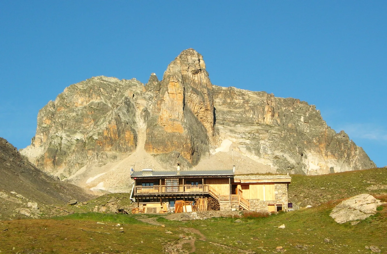
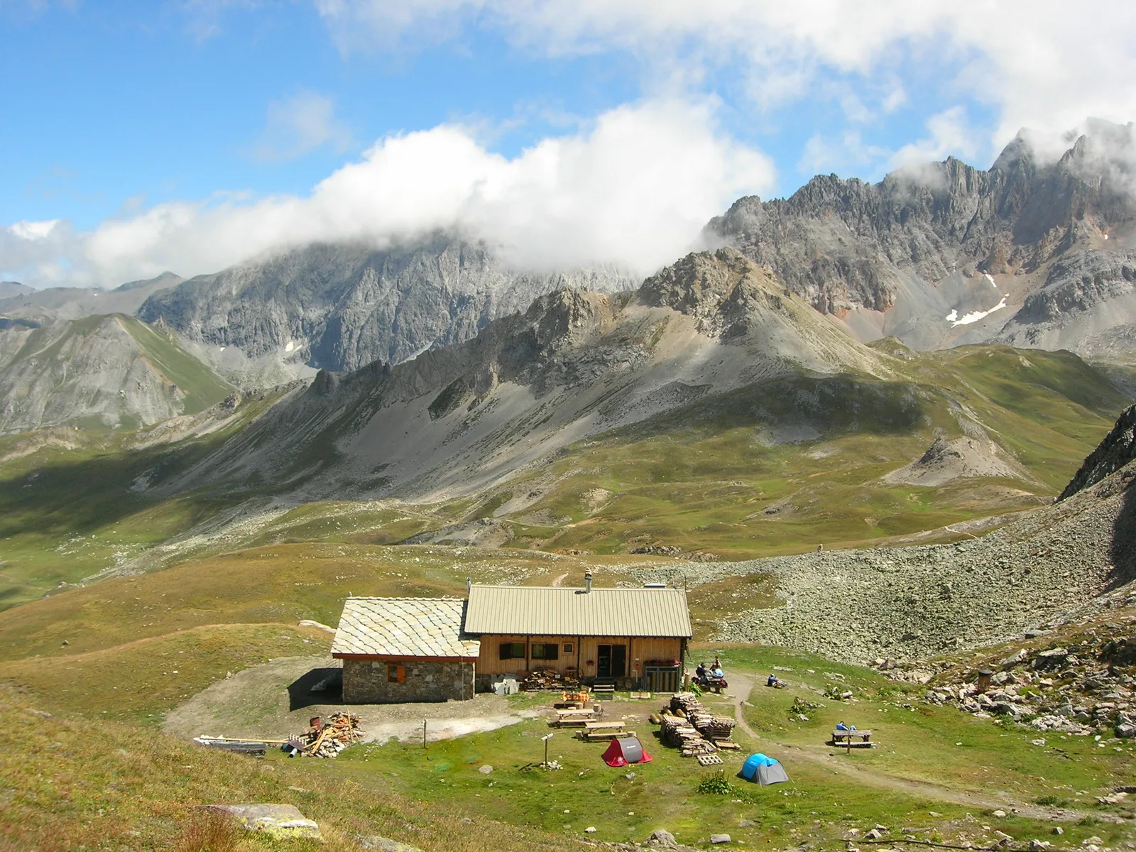
DAY 2: Refuge des Marches (2183 m) – Refuge du Thabor (2502 m)
Duration: 3h30 / Elevation difference: + 600 m / – 300 m
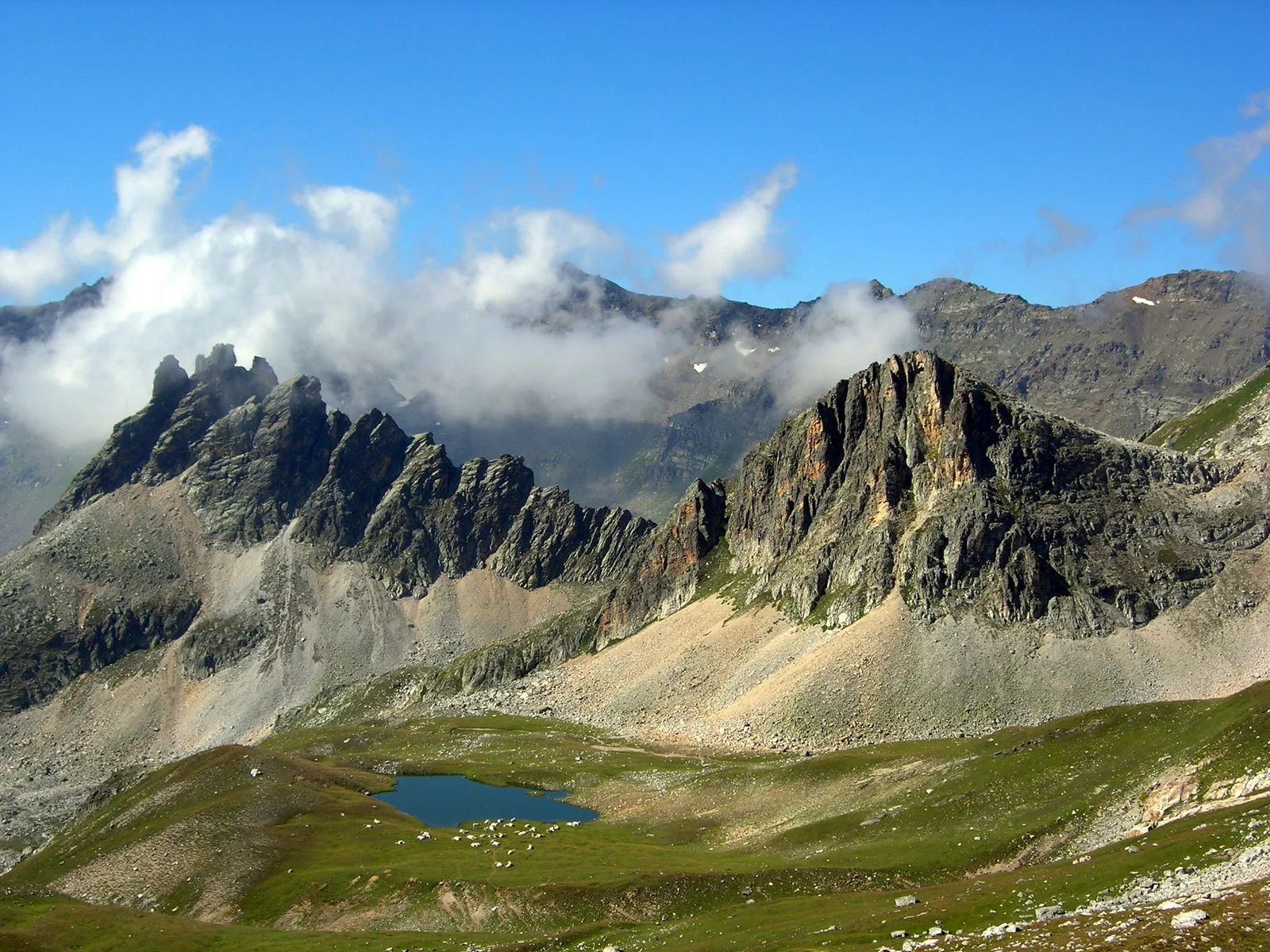
In the morning before leaving for the Thabor refuge, you can take a tour of Lac de Bissorte, leaving your backpack at the refuge (allow 1h 30).
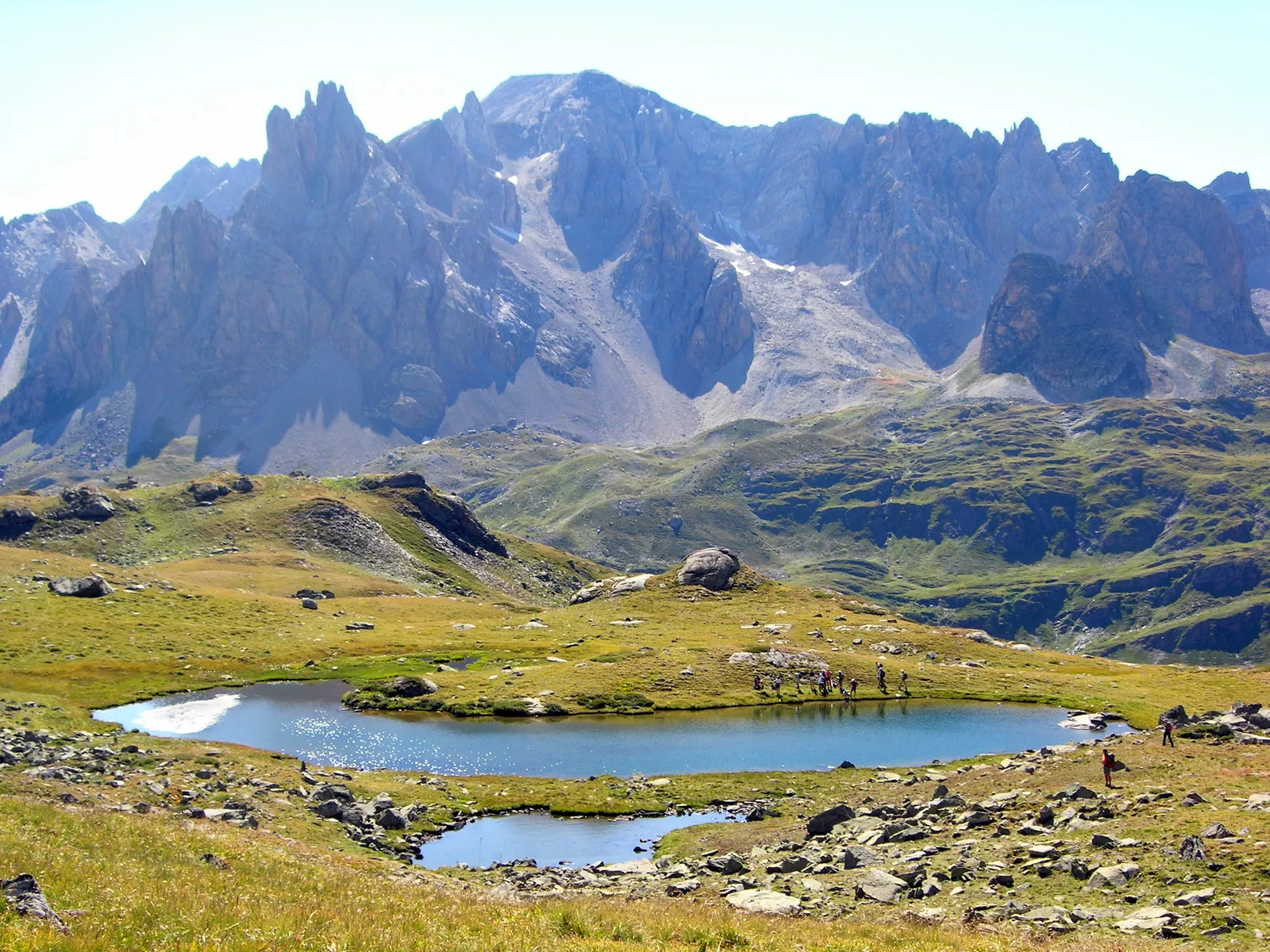
To climb towards the Col des Bataillières, follow the path that goes up the Bissorte valley, towards the Lac des Bataillières. To reach the pass, all you have to do is take the path that rises above the lake. From the refuge to the pass, it takes about 2h45. To go down to the Thabor refuge, you will have to walk 45 minutes. Do not hesitate to stop at the Sainte-Marguerite lakes, above the refuge, to take a nap before going to taste homemade pastries.
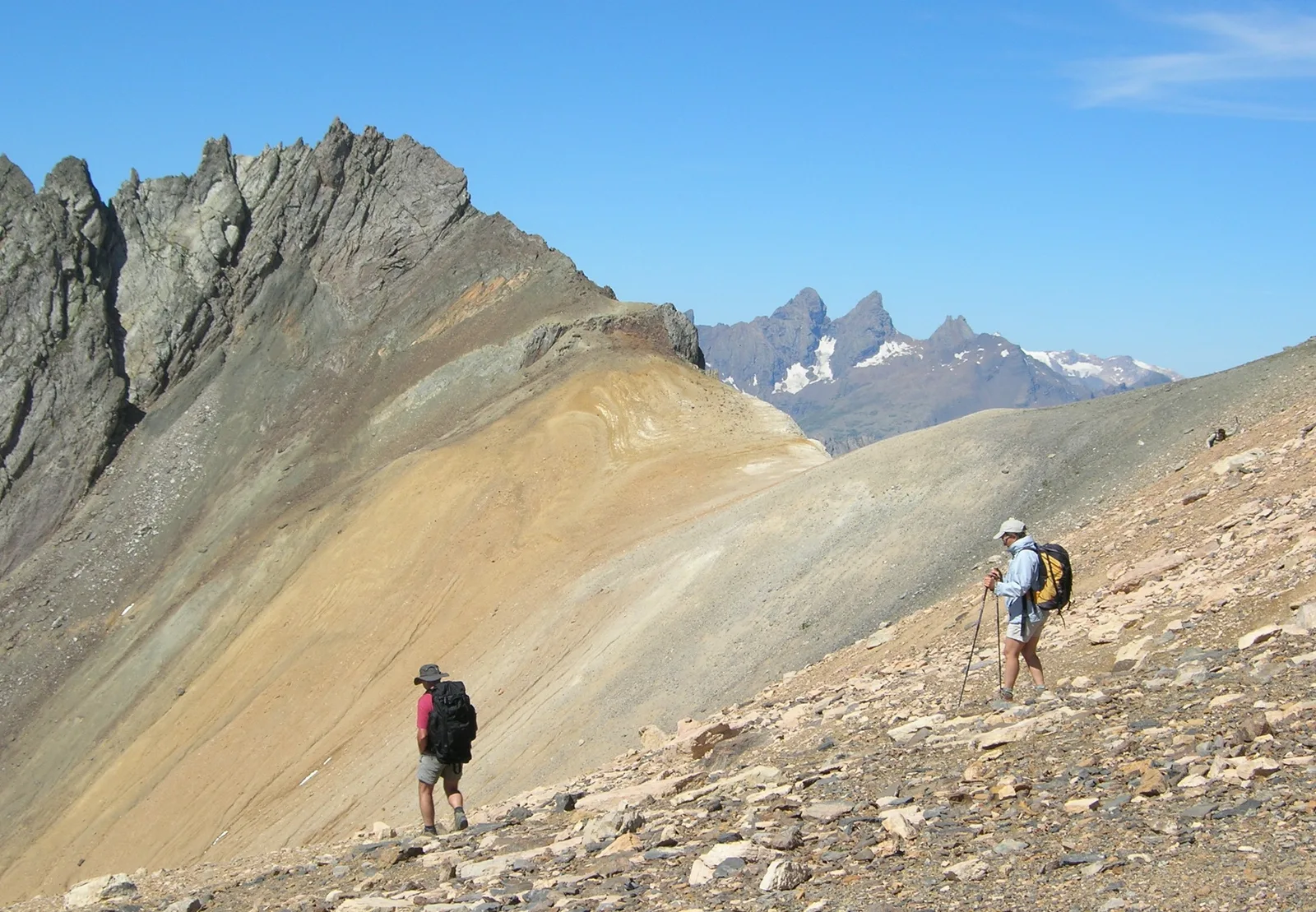
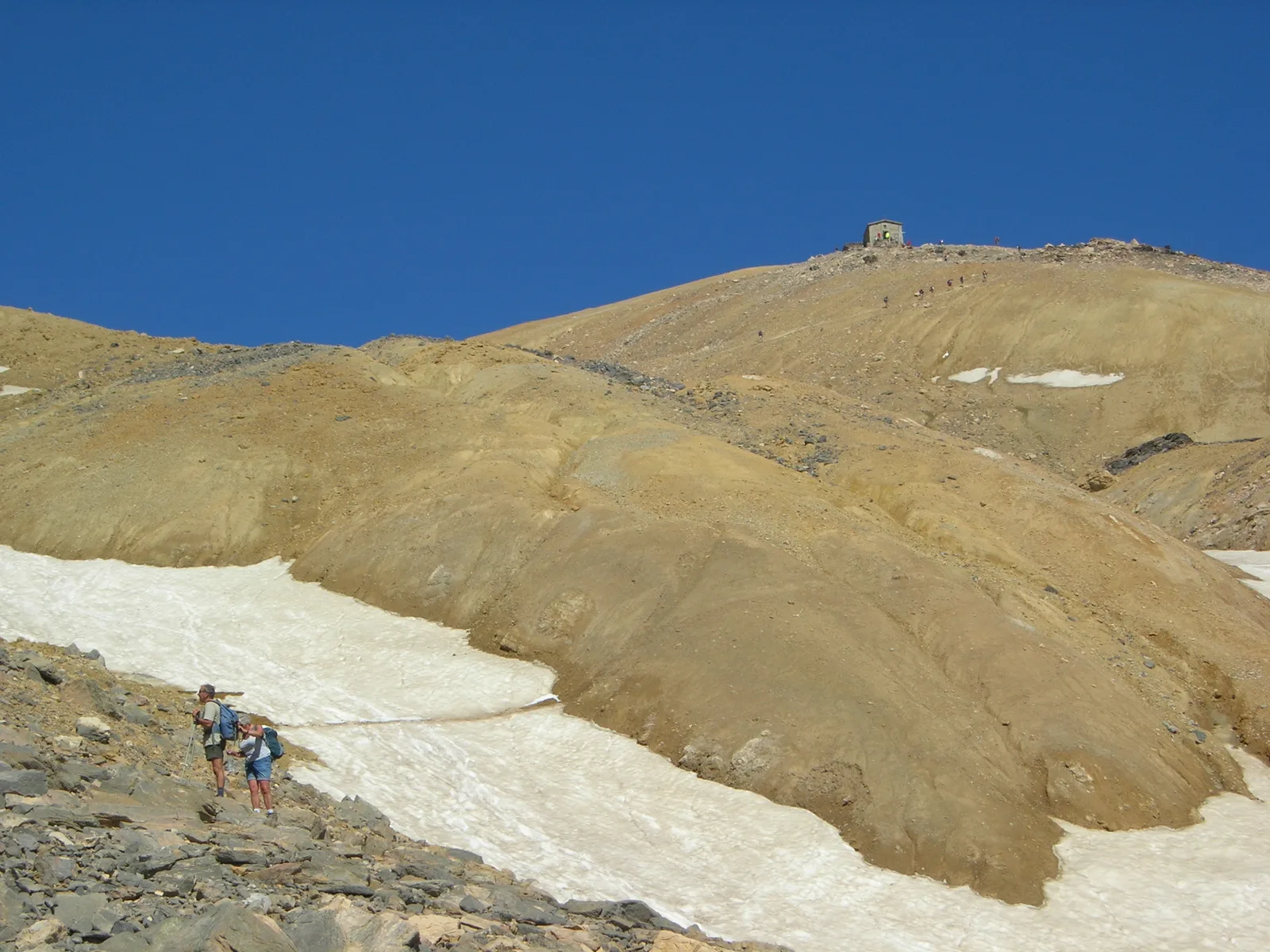
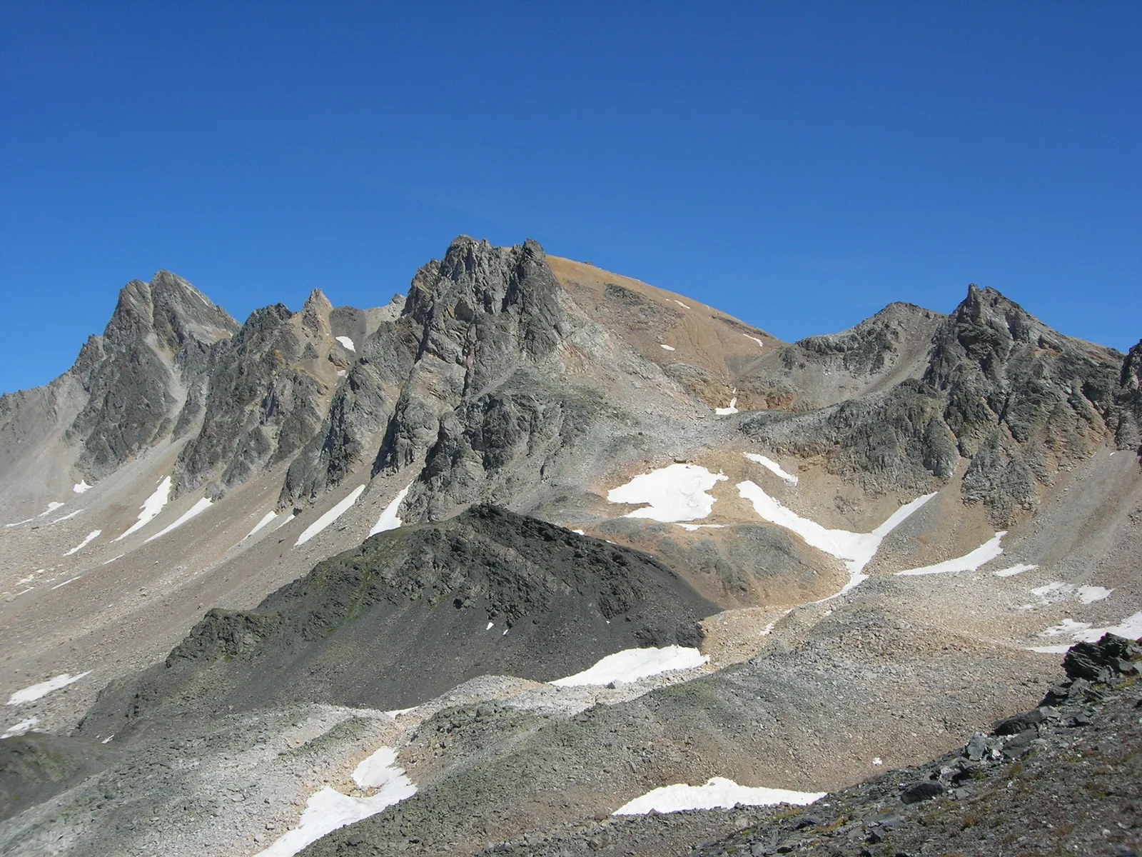
DAY 3: From the Thabor refuge (2502 m) – The granges of the Vallée Etroite (1765 m) with ascent of Mont Thabor (3178 m)
Duration: 7 hours / Elevation difference: + 676 m / – 1700 m
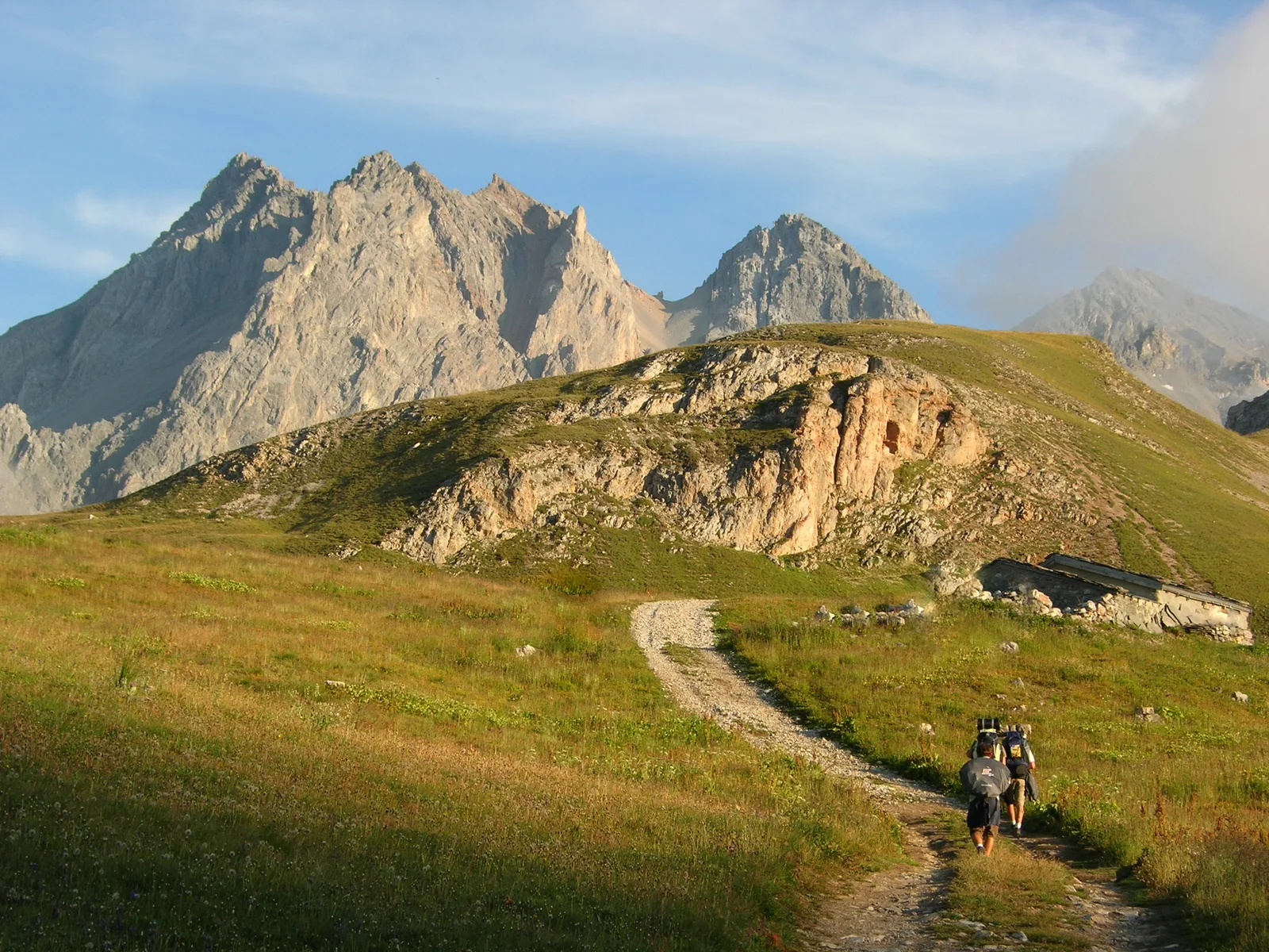
At dawn, because the heat is strong on Mt Tabor, you will have to descend a few minutes to go to the pass of the narrow Valley to take the path that climbs to the top of Tabor. From the Col des Méandes the Way of the Cross begins to bring you to the chapel which is just under the summit.
From the summit, you have to retrace your steps to the Col des Méandes, to then dive into the Vallée Etroite. You will have 1h30 of descent left to taste an Italian specialty in one of the two refuges of the narrow Valley (Refuge Terzo Alpini or Refuge I Re Magi).
DAY 4: The barns of the Vallée Etroite (1765 m) – Refuge des Drayères
Duration: 6 hours / Elevation difference: +1000 m / – 650 m
From the refuges of the Etroite valley, go up towards the Pont de la Fonderie. Before the bridge, you have a fork on your left which goes up in the direction of Prat du plan (going down from Thabor the day before, you went down this path). At Prat du Plan, take the path that goes towards Lac du Chardonnet. You will come across the new GR which comes from the summit of Tabor. On this GR, go towards Col des Muandes, 2828m. From the pass, head towards Lac des Muandes and Lac Rond, then arrive at the Drayères refuge.
DAY 5: Refuge des Drayères – Valmeinier
Duration: 7h / Elevation: +500 / -1000 m
For your last day, all you have to do is climb to the Seuil des Rochilles with its Lac Rond. After the lake, go towards the Col de la Plagnette to descend into the long cow that overlooks Valloire. Be careful not to go down too low, to be able to take the path that goes up to Pas des Griffes.
From Pas des Griffes, go down to the Chenalette car park in Valmeinier, passing under Lac Vert.
Book online at: www.refugesclareethabor.com
DEPARTURE: Valmeinier 1500 m / Online booking at: www.refugesclareethabor.com
1/ DAY 1: Valmeinier – Refuge des Marches (2183 m) / Duration: 5 hours / Elevation gain: + 1225 m / – 542 m
2/ DAY 2: Refuge des Marches (2183 m) – Refuge du Thabor (2502 m) /
Duration: 3h30 / Elevation difference: + 600 m / – 300 m
3/ DAY 3: From the Thabor refuge (2502 m) – Les Granges de la Vallée Etroite (Terzo Alpini Refuge or I Re Magi Refuge) – with ascent of Mont Thabor (3178 m) / Duration: 7 hours / Elevation difference: + 676 m / – 1700 m
4/ DAY 4: Granges de la Vallée Etroite (1765 m) – Refuge des Drayères / Duration: 6 hours / Elevation gain: +1000 m / – 650 m
5/ DAY 5: Refuge des Drayères – Valmeinier / Duration: 7 hours / Elevation difference: + 500 m -1000 m
Location details
From the A43, exit at Saint-Michel-Valloire, then go up towards Valloire
(D902), then Valmeinier 1 (D500A). Go to the Chef Lieu and 215 m
on the left after the Tavern, follow “la ville Dessus” and park.
- In the mountains
- Mountain view
Opening
| Opening hours from June 15 to September 15, 2024 | |
|---|---|
| Monday | Open |
| Tuesday | Open |
| Wednesday | Open |
| Thursday | Open |
| Friday | Open |
| Saturday | Open |
| Sunday | Open |
Prices
Services
Services
Activities on site
- Pedestrian sports
- Hiking route
Home animals