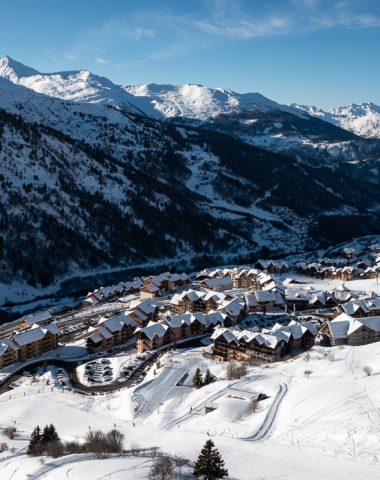


Tour du Mont Thabor en 3 jours au départ de Valmeinier
Come to the end of the mythical Mount Tabor and its 3178 meters of altitude. On the program: 3 days in the mountains, 2 nights in bivouac, in sumptuous landscapes.
DAY 1: From Valmeinier to the Thabor refuge
– Start: 1 meters
– Summit: 2 meters
– Cumulative altitude difference: 1 meters
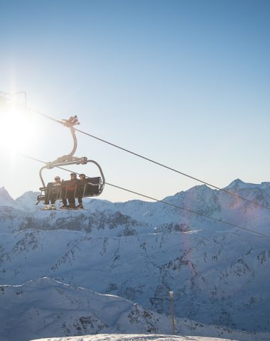
At the top of the resort head towards the games chairlift and take the path to the right indicating the Col des Marches (2725m).
Go along the Col des Marches stream which rises slowly but surely. The Lac de Roche Noir (2564m) announces the approach to the Col.
Once you have crossed the pass, you can see the lake of the Bissorte dam below.
Descend towards the Refuge des Marches (2230m).
From there, follow the signs for the lake (2422m) and the Col des Batailleres (2787m). The trail crosses “postcard” landscapes.
The pass offers beautiful views of Cheval Blanc and Mont Thabor. Descend towards Lac Long and Lac Rond (Lacs Sainte Marguerite) located upstream of the Thabor refuge (2502m).
BIVOUAC near the refuge, on the edge of the Round Lake.
—
DAY 2: From the Thabor refuge to the Drayères refuge
– Start: 2 meters
– Summit: 3 meters
– Cumulative altitude difference: 900 meters
Departure from the Mont Thabor refuge (2502m). Head towards the Col de la Vallée Étroite (2434m).
Follow the path indicating the direction of Mont Thabor. After crossing Lac du Peyron (2453m), a beautiful steep path leads to Les Chances du Peyron (2635m). The path then leads quietly to the Col des Méandes (2727m).
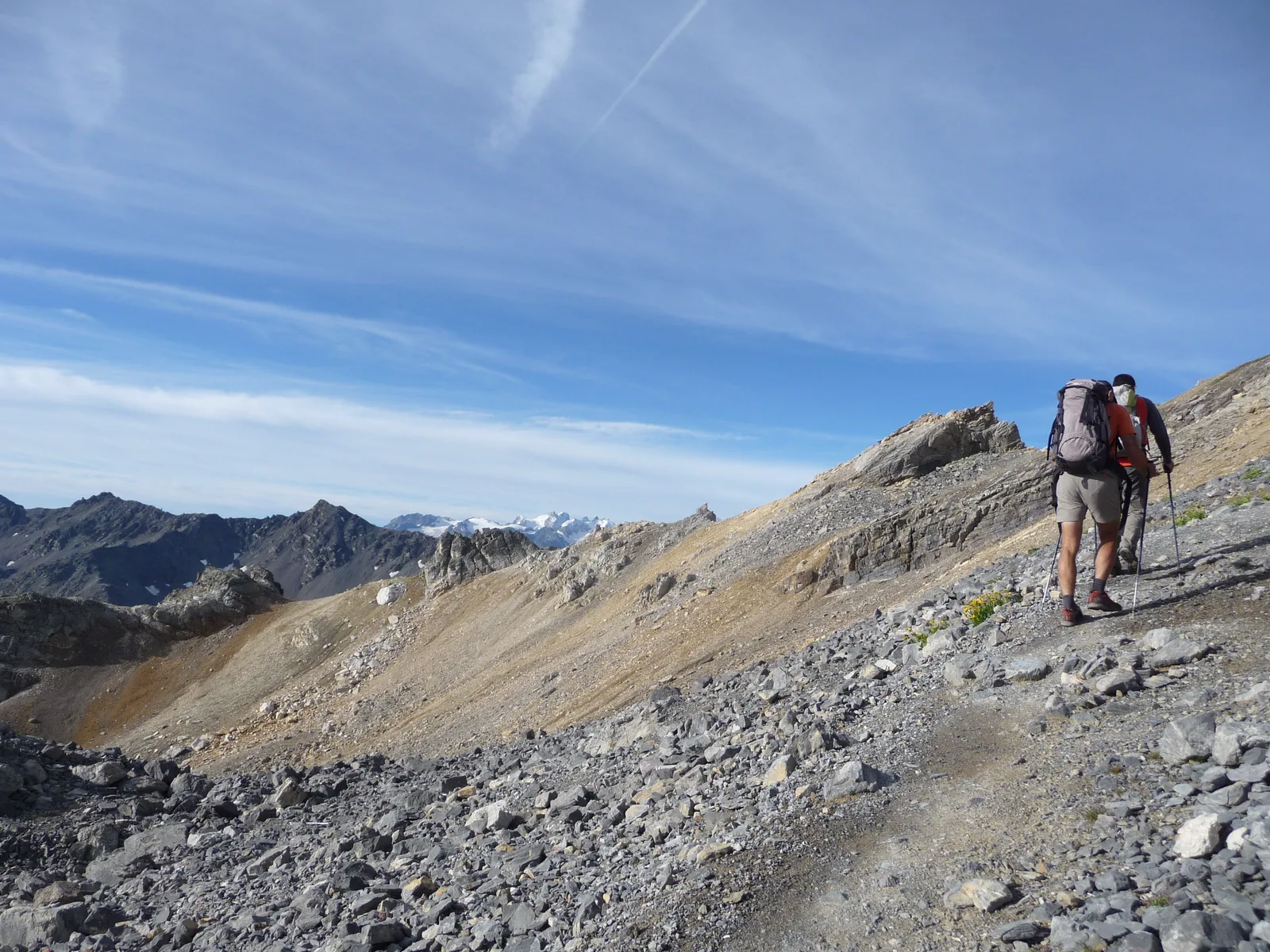
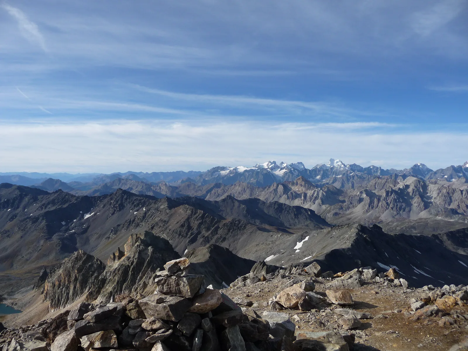
The Stations of the Cross which allows you to reach the chapel and then the summit of Mont Thabor (3178m) is quite steep, but the panorama is worth it.
Go back down the chapel path to the small flat area (3060m). At the fork, take the path that goes to the right (former GR du Tour du Thabor).
The sloping path runs alongside the Pointe des Angelières and leads to the Col de la Chapelle (2943m). Continue under the Roc de Valmeinier and come out at the pass of the same name (2857m).
Follow the crest of the Roche du Chardonnet (2950m). Be careful not to lose track in the rocks! Spot the cairns. Finally, reach the Col des Muandes (2828m) which marks the old Franco-Savoy border, and descend towards the Drayères refuge (2180m). The path follows a very pleasant valley.
BIVOUAC near the refuge.
—
DAY 3: From the Drayères refuge to Valmeinier
– Start: 2 meters
– Summit: 2 meters
– Cumulative altitude difference: 915 meters
From the Drayères refuge (2180m), head towards Lac de la Clarée (2439m) and Seuil des Rochilles (2459m).
Continue along Lac Rond and at Lac du Grand Ban, do not “miss” the path on the right which leads to the Col de la Plagnette (2525m).
Take the beautiful passage between the Aiguille Noire and Les Rochers de La Grande Paré. About a kilometer and a half after the pass, around 2250m, take the direction of Pas des Griffes (2554m) which is reached after a long effort through a "cow mountain" (do not trust the sign indicating Pas des Griffes at 4:00 a.m., 2 hours should be enough).
At the top, contemplate the landscape one last time before descending into the valley where the Neuvache flows. Follow Valmeinier 1800.
From Les Arendiers, the path along the stream is very pleasant to the Chenalette car park (1747m). Finally, follow Valmeinier 1900. A final steep climb brings you back to the starting point.
– Start: 1 meters
– Summit: 2 meters
– Cumulative altitude difference: 1 meters
At the top of the resort head towards the games chairlift and take the path to the right indicating the Col des Marches (2725m).
Go along the Col des Marches stream which rises slowly but surely. The Lac de Roche Noir (2564m) announces the approach to the Col.
Once you have crossed the pass, you can see the lake of the Bissorte dam below.
Descend towards the Refuge des Marches (2230m).
From there, follow the signs for the lake (2422m) and the Col des Batailleres (2787m). The trail crosses “postcard” landscapes.
The pass offers beautiful views of Cheval Blanc and Mont Thabor. Descend towards Lac Long and Lac Rond (Lacs Sainte Marguerite) located upstream of the Thabor refuge (2502m).
BIVOUAC near the refuge, on the edge of the Round Lake.
—
DAY 2: From the Thabor refuge to the Drayères refuge
– Start: 2 meters
– Summit: 3 meters
– Cumulative altitude difference: 900 meters
Departure from the Mont Thabor refuge (2502m). Head towards the Col de la Vallée Étroite (2434m).
Follow the path indicating the direction of Mont Thabor. After crossing Lac du Peyron (2453m), a beautiful steep path leads to Les Chances du Peyron (2635m). The path then leads quietly to the Col des Méandes (2727m).
The Stations of the Cross which allows you to reach the chapel and then the summit of Mont Thabor (3178m) is quite steep, but the panorama is worth it.
Go back down the chapel path to the small flat area (3060m). At the fork, take the path that goes to the right (former GR du Tour du Thabor).
The sloping path runs alongside the Pointe des Angelières and leads to the Col de la Chapelle (2943m). Continue under the Roc de Valmeinier and come out at the pass of the same name (2857m).
Follow the crest of the Roche du Chardonnet (2950m). Be careful not to lose track in the rocks! Spot the cairns. Finally, reach the Col des Muandes (2828m) which marks the old Franco-Savoy border, and descend towards the Drayères refuge (2180m). The path follows a very pleasant valley.
BIVOUAC near the refuge.
—
DAY 3: From the Drayères refuge to Valmeinier
– Start: 2 meters
– Summit: 2 meters
– Cumulative altitude difference: 915 meters
From the Drayères refuge (2180m), head towards Lac de la Clarée (2439m) and Seuil des Rochilles (2459m).
Continue along Lac Rond and at Lac du Grand Ban, do not “miss” the path on the right which leads to the Col de la Plagnette (2525m).
Take the beautiful passage between the Aiguille Noire and Les Rochers de La Grande Paré. About a kilometer and a half after the pass, around 2250m, take the direction of Pas des Griffes (2554m) which is reached after a long effort through a "cow mountain" (do not trust the sign indicating Pas des Griffes at 4:00 a.m., 2 hours should be enough).
At the top, contemplate the landscape one last time before descending into the valley where the Neuvache flows. Follow Valmeinier 1800.
From Les Arendiers, the path along the stream is very pleasant to the Chenalette car park (1747m). Finally, follow Valmeinier 1900. A final steep climb brings you back to the starting point.
Location details
Park near the Valmeinier resort center.
- In the mountains
Opening
| Opening hours from May 15 to October 15, 2024 | |
|---|---|
| Monday | Open |
| Tuesday | Open |
| Wednesday | Open |
| Thursday | Open |
| Friday | Open |
| Saturday | Open |
| Sunday | Open |
Further information) :
Subject to favorable weather conditions
Prices
Services
Activities on site
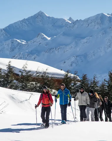
- Pedestrian sports
- Hiking route