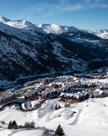


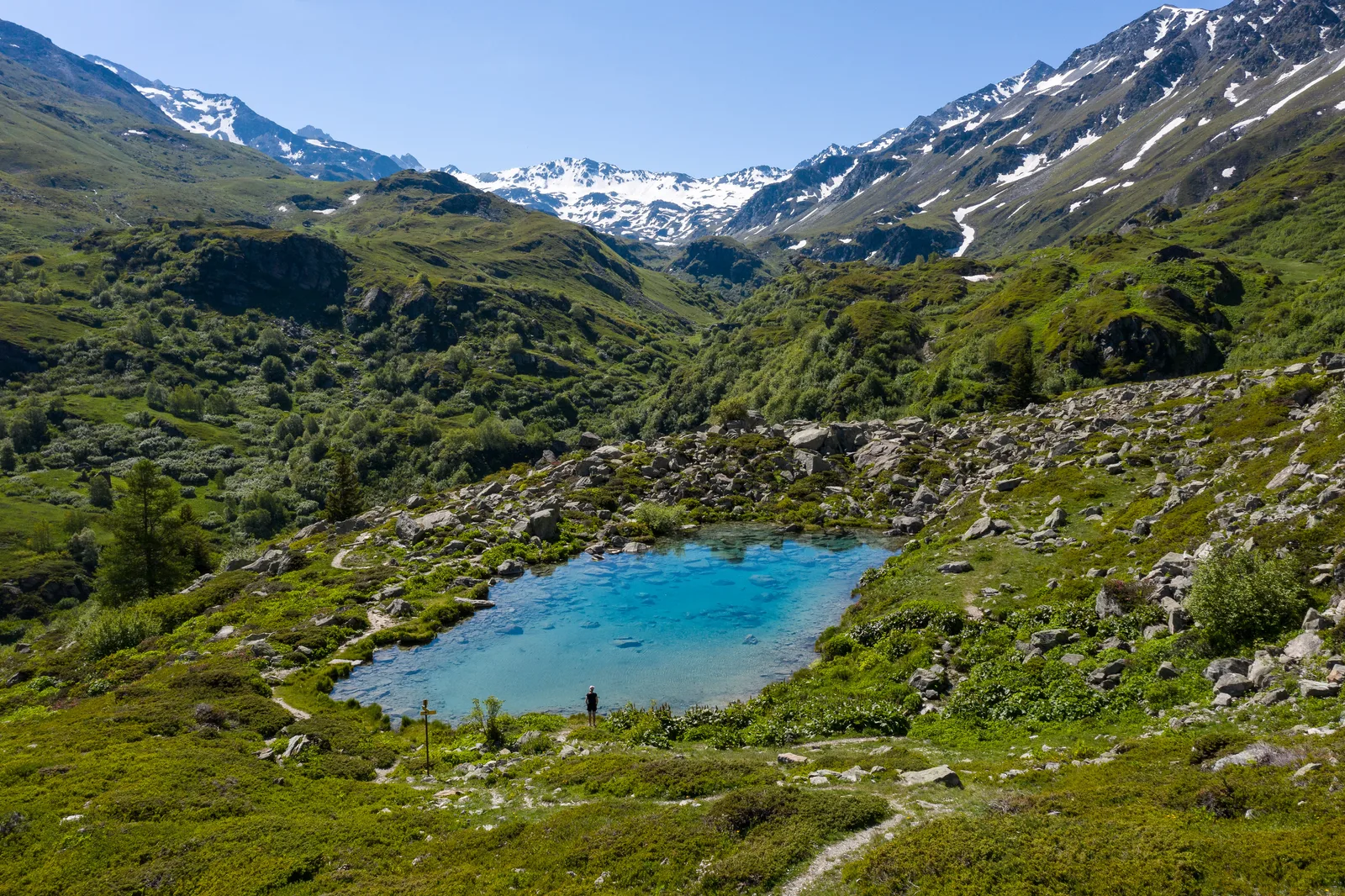
Nice walk on both sides of the Neuvache valley. The Lac Vert remains one of the essential passages during a summer season in Valmeinier.
Route details
Description
ALL
From the Chenalette car park, go back to the “La Chaudanne” sign and descend to the left by the path (unmarked) which goes down to La Neuvache which you cross on a footbridge.
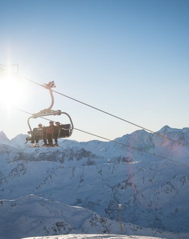
Continue to the right to the bottom of the Inversins chairlift.
Then take the path (unmarked at the start) which goes up to the left. After two hairpins, it climbs up the side of the slope.
At the sign "Sur le Pleney", continue straight.
At Cotérieux (sign), turn left on the path that climbs to Combe Orsière and then descends to Lac Vert.
Follow the yellow markings to go down to the sign “Sous le Lac Vert”. Continue to the left until the sign "La Portête" where you will turn right to cross the footbridge over the Neuvache.
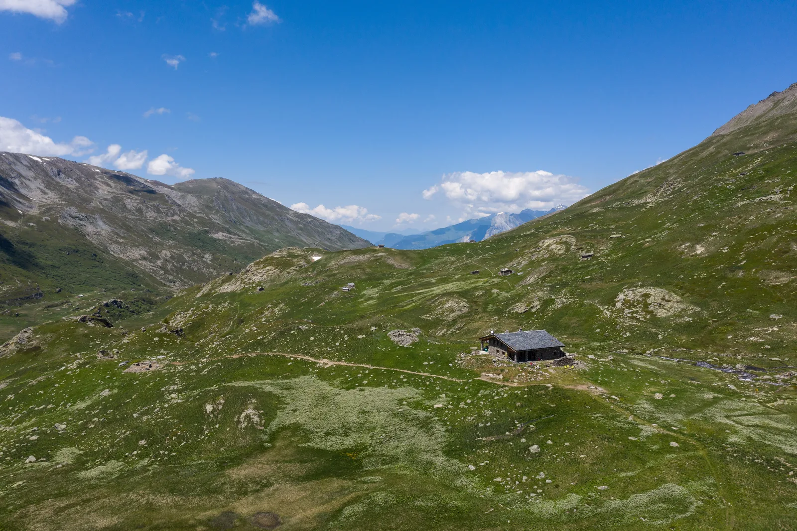
Go up the path on the right bank of the Neuvache. Higher up, take the footbridge over the Ruisseau des Grandes Culées to then reach the Refuge de Terre Rouge.
—
RETURN
At the “Refuge de Terre Rouge” sign, follow the direction of La Chenalette to cross the two streams on footbridges (caution: do not rely on the “Notre Dame des Neiges” sign, which does not indicate the right direction).
The path climbs a little to arrive at a hundred meters from the Chapel of Notre Dame des Neiges.
Follow the “La Chenalette” signs to then pass the Vallons water intake and find the parking area.
From the Chenalette car park, go back to the “La Chaudanne” sign and descend to the left by the path (unmarked) which goes down to La Neuvache which you cross on a footbridge.
Continue to the right to the bottom of the Inversins chairlift.
Then take the path (unmarked at the start) which goes up to the left. After two hairpins, it climbs up the side of the slope.
At the sign "Sur le Pleney", continue straight.
At Cotérieux (sign), turn left on the path that climbs to Combe Orsière and then descends to Lac Vert.
Follow the yellow markings to go down to the sign “Sous le Lac Vert”. Continue to the left until the sign "La Portête" where you will turn right to cross the footbridge over the Neuvache.
Go up the path on the right bank of the Neuvache. Higher up, take the footbridge over the Ruisseau des Grandes Culées to then reach the Refuge de Terre Rouge.
—
RETURN
At the “Refuge de Terre Rouge” sign, follow the direction of La Chenalette to cross the two streams on footbridges (caution: do not rely on the “Notre Dame des Neiges” sign, which does not indicate the right direction).
The path climbs a little to arrive at a hundred meters from the Chapel of Notre Dame des Neiges.
Follow the “La Chenalette” signs to then pass the Vallons water intake and find the parking area.